Around 250 kilometres of coastline, four to four-and-a-half hours, and one of the most beautiful drives in Brazil. Here is how to do it well — and enjoy it.
You leave the city heading west and southwest on the BR-101, the Rodovia Rio–Santos, which hugs the Costa Verde the whole way. It is scenic, curvy, and slower than the map suggests — budget 4 to 4.5 hours, more on a summer Friday, and never rush the mountain bends.
The route, step by step
From central Rio, follow signs for Barra da Tijuca / Recreio and pick up the BR-101 (Rio–Santos) heading southwest. The road threads the coast through Itaguaí, then Mangaratiba, Angra dos Reis, and finally into Paraty. There is essentially one road the whole way, which makes navigation simple — the challenge is the driving, not the wayfinding.
After Angra dos Reis the highway becomes its most beautiful and its most winding: forest on one side, bay and islands on the other, a steady rhythm of curves. Keep to a calm pace, use the pull-offs for photos rather than stopping in blind bends, and you'll arrive relaxed.
The Costa Verde bay — the view that opens up for the final stretch into Paraty.
How long it really takes
Mapping apps often quote around three-and-a-half hours. In the real world, with the curves, the trucks, the speed cameras, and at least one photo stop, plan for 4 to 4.5 hours. Add 30–60 minutes if you leave Rio during rush hour or on a holiday Friday, when the exit from the city clogs up.
Our advice: leave mid-morning. You clear Rio's traffic, drive the pretty part in good light, and arrive in Paraty in time for a swim before sunset.
Tolls, fuel and the practical bits
There are a small number of toll plazas on the Rio–Santos — keep a little cash or an automatic tag (Sem Parar / ConectCar) handy. Fuel up before Angra dos Reis; stations thin out on the prettier southern stretch. A tank is plenty for the round trip.
The road has plenty of speed cameras (radares) and the limits change often, so watch your speed. Sections can have rough asphalt or, after heavy summer rain, occasional landslides — check conditions if the forecast is bad.
Where to stop along the way
Mangaratiba — a quiet fishing town and ferry port; a good coffee-and-stretch stop.
Angra dos Reis — the gateway to hundreds of islands; worth a longer look if you have time.
Conceição de Jacareí — the main jumping-off point for boats to Ilha Grande, if you want to bolt on an island night.
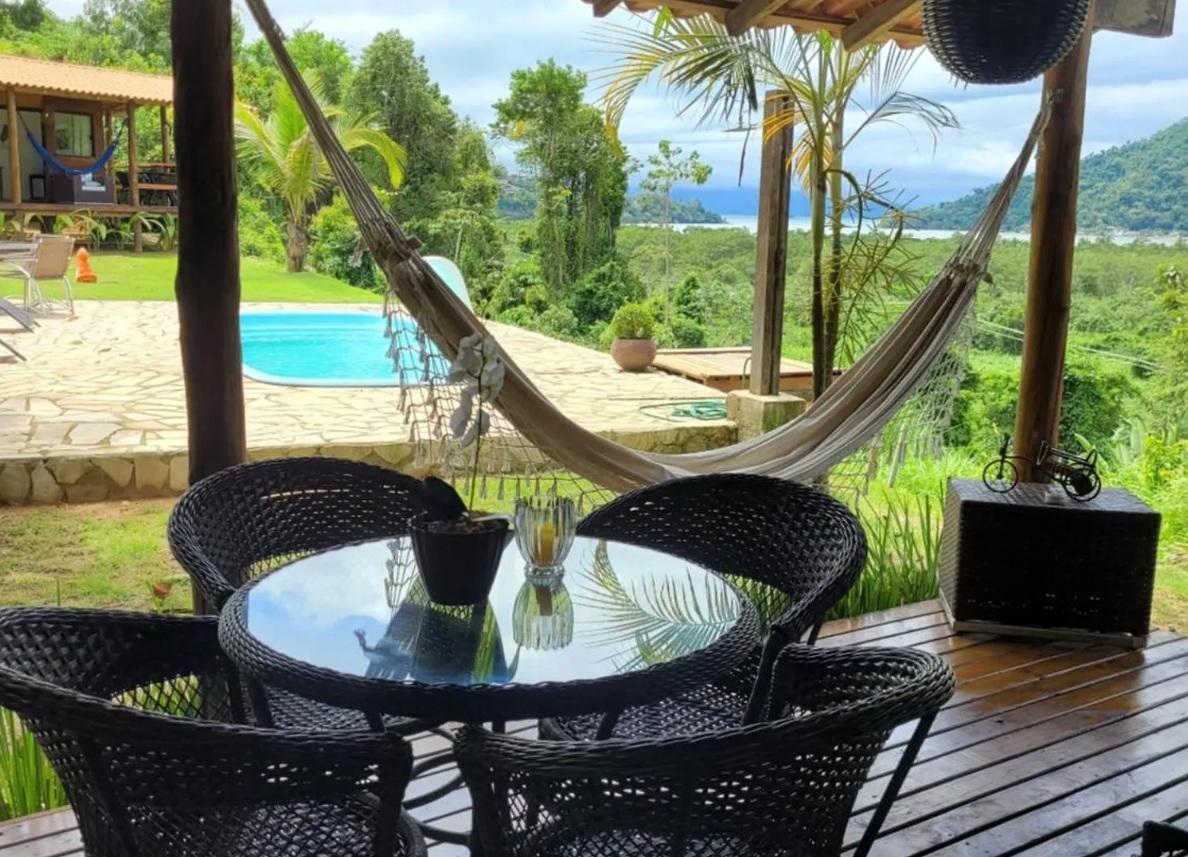
Once you reach Paraty, the historic center is pedestrian — leave the car at the chalet and walk in. From Cantinho do Marinheiro you're minutes from the old town and the main pier, up on the hill where the view and the quiet are.
Quick reference
Rio → Paraty by car
Distance ~250 km
Driving time 4–4.5 hours
Main road BR-101 · Rodovia Rio–Santos
Tolls A few plazas — cash or tag
Best time to leave Mid-morning (skip Rio rush hour)
Road type Two-lane, winding, coastal
Good to know
Frequently asked questions
How far is Paraty from Rio de Janeiro by car?
About 250 km along the BR-101 (Rodovia Rio–Santos).
How long does the drive take?
Realistically 4 to 4.5 hours, and longer if you hit Rio rush hour or a holiday weekend. GPS estimates of ~3.5 hours are optimistic for this curvy coast road.
Is the Rio to Paraty drive safe?
Yes, if you drive to the conditions: it is a winding two-lane coastal highway with speed cameras and the occasional rough patch. Avoid driving it at night or in heavy rain, and don't overtake on blind bends.
Are there tolls?
A few toll plazas along the Rio–Santos. Carry some cash or an automatic toll tag. Fuel up before Angra dos Reis, where stations become sparser.
Do I need a car once I'm in Paraty?
Not for the historic center, which is pedestrian. A car is handy for beaches like Trindade and the waterfalls, but taxis, tours, and host-arranged transfers cover those too.
Reserve your chalet
Ready to make Paraty happen?
Pick your chalet and check live dates on Airbnb, or message Bianca first — she'll help you plan transfers, tours, and the little details.
We use cookies, including Google Analytics, to understand how visitors use this site. You can accept or decline non-essential cookies. See our Privacy Policy.